learn more

About Us

We provide services and creative solutions in the fields of Digital Photogrammetry, Remote Sensing and GIS,
creating innovative things that get attention and meaningful.

Our History

geoVision was founded in 2017 as a follow up of the professional activity of Dr. Eleftherios Tournas.

Our Vision

Our vision is to improve the photogrammetric process on productivity, control and accuracy while reducing time and investment costs.

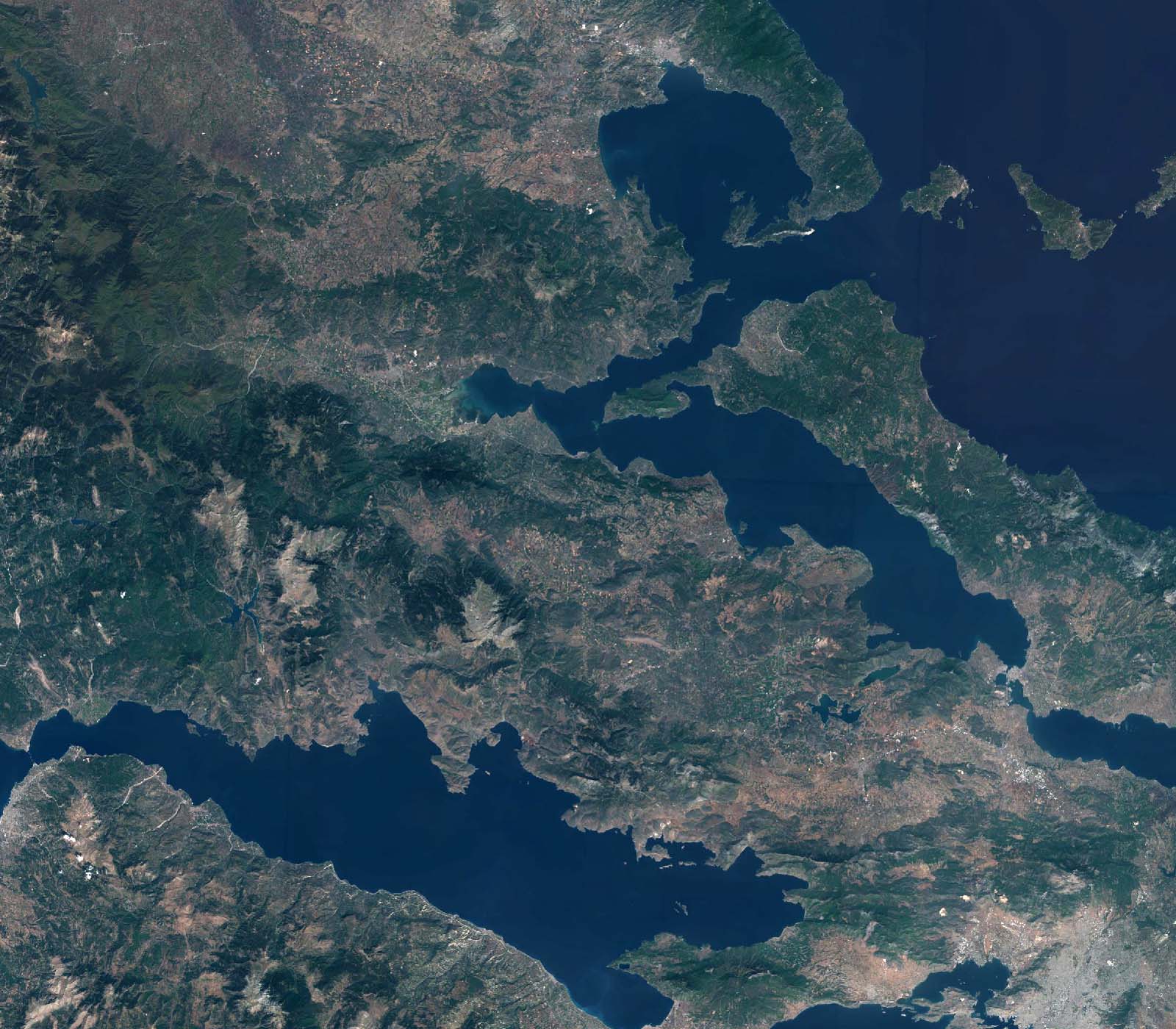
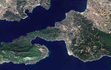
Sentinel-2 mosaic - cloud free coverage of GREECE

Some of our works

Highlight Projects

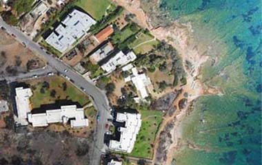
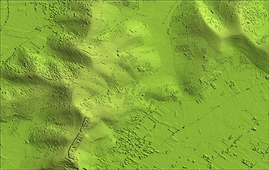
Drone Mapping
Digital Photogrammetry
Sentinel-2 Mosaic
Remote Sensing
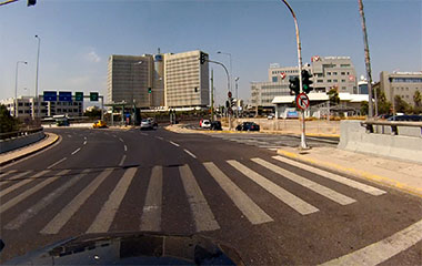
Road Asset Monitoring
GIS / Mobile Mapping
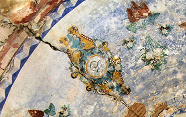
Monument Documentation
Architectural Photogrammetry
Dense Image Matching
Software Development
Mobile Mapping
Software Development
We have been trusted